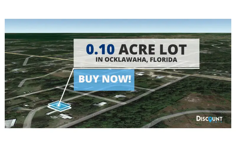
The process of purchasing land requires careful evaluation, and modern technology makes this easier than ever. One of the most powerful tools available for assessing property remotely is Google Earth. Whether you are an investor, a developer, or an individual looking to purchase land for personal use, Google Earth provides valuable insights into the terrain, surroundings, and accessibility of a property. This article explores how you can use Google Earth to evaluate land for sale in Florida effectively.
Google Earth And Its Features
Google Earth is a free tool that allows users to explore satellite imagery, street views, and topographical data from anywhere in the world. Some of its key features include:
- 3D Terrain View: Provides a detailed elevation profile.
- Historical Imagery: Allows you to view changes in the land over time.
- Street View: Offers a ground-level perspective.
- Measurement Tools: Helps estimate distances and property boundaries.
- Overlays and Layers: Displays roads, water bodies, and public lands.
By leveraging these features, you can gain a comprehensive understanding of land for sale in Florida before making a site visit.
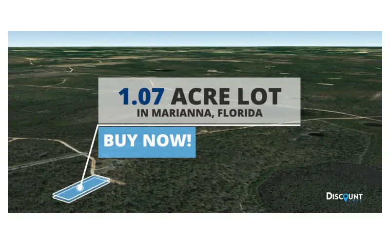
Evaluating Land Location And Accessibility
One of the first aspects to consider when purchasing land is its location and accessibility. Google Earth can help you:
- Identify nearby cities, towns, and major highways.
- Determine how far the property is from essential services like hospitals, schools, and shopping centers.
- Check the presence of roads leading to the land. If the property lacks road access, it may require special arrangements or additional costs for infrastructure development.
For example, if you are looking at rural land for sale in Florida, Google Earth can show whether the property is accessible by paved roads or if it is only reachable by dirt paths or trails.
Assessing Terrain And Topography
Topography plays a crucial role in determining the usability and value of a property. Google Earth’s terrain view can help you:
- Identify hilly or flat areas, which is essential for construction and agriculture.
- Detect potential flood zones by assessing elevation levels and proximity to water bodies.
- Evaluate soil erosion risks by examining slopes and land formations.
In Florida, where flooding is a concern, identifying properties on high ground can save potential buyers from future water damage risks.
Examining Nearby Water Sources And Environmental Factors
Florida is known for its wetlands, rivers, and coastal areas. Using Google Earth, you can analyze how close a piece of land is to water sources. Consider the following:
- Check for proximity to lakes, rivers, or the ocean.
- Determine if the land is within a designated wetland area, which could affect building permits and land use.
- Identify any environmental conservation areas or protected lands nearby that may limit future development.
Understanding these environmental factors ensures that you are aware of any potential restrictions or benefits related to water access.
Investigating Land Use And Zoning
Before purchasing land for sale in Florida, it is essential to confirm its designated use. Google Earth helps by:
- Identifying neighboring properties and their current use (residential, commercial, agricultural, etc.).
- Checking whether the land is in an area undergoing development, which may affect future property value.
- Looking for nearby industrial zones that might impact air and noise pollution levels.
To further confirm zoning regulations, it is advisable to cross-reference findings on Google Earth with local government zoning maps.
Measuring Property Boundaries And Size
Google Earth’s measurement tools enable users to estimate property boundaries and dimensions. While these measurements are not a substitute for a professional land survey, they provide a useful preliminary estimate. With this feature, you can:
- Measure the total acreage of the land.
- Compare property size with adjacent parcels.
- Estimate distances to key landmarks, such as roads and water sources.
This information helps buyers understand whether the land size meets their intended use, such as farming, residential development, or commercial projects.
Checking Historical Land Changes
Google Earth’s historical imagery feature allows you to view changes in the landscape over the years. This is particularly useful for:
- Observing deforestation or significant changes in vegetation.
- Detecting previous flooding events or seasonal water retention.
- Identifying any prior developments, demolitions, or land modifications.
For those considering land for agriculture or development, historical changes can provide clues about soil stability and usability.
Identifying Potential Risks And Hazards
Before investing in land for sale in Florida, it is vital to assess possible risks. Google Earth helps identify:
- Flood-prone areas: Check for low-lying regions or land near water bodies that may be at risk.
- Hurricane exposure: Evaluate proximity to coastal areas and assess potential storm surge impact.
- Wildfire-prone zones: Look for dry vegetation and proximity to forested areas.
- Sinkhole risks: Some regions in Florida have a history of sinkholes; analyzing the terrain can help assess potential risk.
By understanding these risks, buyers can make informed decisions and consider necessary precautions before purchasing land.
Comparing Land Options
Google Earth makes it easy to compare multiple properties before making a final decision. By bookmarking different parcels and switching between views, you can:
- Compare land features such as terrain, accessibility, and surroundings.
- Assess potential growth in different regions based on infrastructure development.
- Determine which property best fits your investment or personal needs.
Conclusion
Google Earth is an invaluable tool for evaluating land for sale in Florida. From assessing terrain and accessibility to investigating zoning and environmental factors, this technology provides critical insights that help buyers make informed decisions. While Google Earth should not replace professional land surveys and legal due diligence, it serves as an excellent preliminary evaluation method, saving time and resources in the property search process. If you are considering purchasing land in Florida, start by exploring the property using Google Earth. This approach ensures that you invest in land that aligns with your goals and minimizes unforeseen challenges. Happy land hunting!